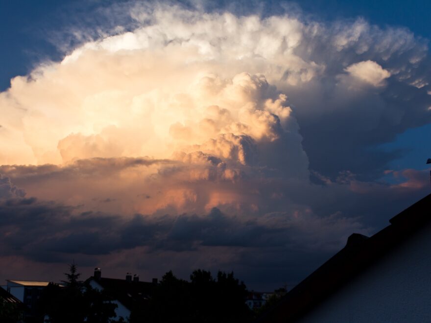
Cumulonimbus clouds are large, towering clouds that can reach heights of over 10 miles (16 kilometers). These clouds are often referred to as thunderclouds because they are often accompanied by thunder and lightning. Cumulonimbus clouds are also responsible for producing heavy rain and sometimes even hail.
But how do cumulonimbus clouds form?
Cumulonimbus clouds form when warm, moist air rises quickly through the atmosphere. As the air rises, it cools, and the moisture condenses into visible clouds. This process is known as convection.
For cumulonimbus clouds to form, there must be a sufficient amount of moisture in the air and a strong updraft to lift the moist air high into the atmosphere. This can occur when warm air near the surface of the Earth rises and cools as it moves upward.
One common trigger for the formation of cumulonimbus clouds is the presence of a cold front. A cold front is a boundary between a mass of cold air and a mass of warm air. As the cold air pushes under the warm air, it forces the warm air to rise rapidly, leading to the formation of cumulonimbus clouds. Cumulonimbus clouds can also form due to other weather phenomena, such as a tropical cyclone or a mountain range.
Regardless of how they form, cumulonimbus clouds are a stunning sight to behold. They often take on a distinctive, anvil-shaped appearance due to the strong winds that can occur within them. While they can bring heavy rain and strong winds, cumulonimbus clouds are a vital part of the Earth’s weather system and play a critical role in the water cycle.

